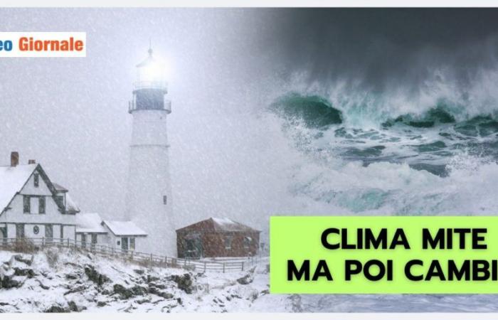
The weather conditions show a clear improvement, favored by the gradual strengthening of high pressure: but be careful, it will be a temporary winter break.
During the weekend, although the climate remained stable, cold air in the lower levels continued to cause a significant drop in temperatures in the evening and overnight.
The maximums in the North do not exceed 7-8 degrees, despite the warming at altitude. It is no coincidence that the current anticyclone does not seem particularly robust.
Already during the night of November 25 to 26, there was scattered precipitation in several points in the North.
These conditions will be more evident in specific areas, with varying intensity depending on the region.
Arrival of cold air at the end of November
A significant change could emerge towards the end of November and the beginning of December, when a vortex of cold air, coming from the east, could succeed in destabilizing the anticyclonic structure. Although there remains uncertainty about the precise trajectory, mathematical models agree on a possible significant involvement of Italian regions. If the vortex managed to penetrate with determination, we would expect a drastic drop in temperatures.
In addition to rain, snowfall could occur, even at relatively low altitudes, particularly in the Center-North.
These phenomena would recall typical winter scenarios, marking a change compared to the current situation.
Mediterranean Depression and possible effects on Italy
The weakening of the anticyclone could also favor the entry of North Atlantic disturbances.
Western Europe would see a return of humid ocean currents which, once reaching our seas, could generate a significant depression. This scenario could materialize especially near Sardinia, where a cyclonic center could intensify considerably, causing widespread bad weather. The first projections from international meteorological centers indicate that, during the first week of December, this depression, now completely Mediterranean, could trigger high intensity phenomena in several regions of Italy.
The effects could include heavy rain, intense winds and snowfall on landforms, making the climate particularly unstable.
Winter: turbulent start
The seasonal transition, typical of this time of year, is often manifested by irregular atmospheric conditions.
The possible deterioration of weather conditions could represent a prelude to meteorological winter, which would begin with turbulence.
The following disturbances, coming from the west-northwest, could keep the weather unstable for several weeks, especially involving the Center-North and the Tyrrhenian areas. Ultimately, the next few weeks promise to be crucial for understanding the evolution of the meteorological framework. Between November and December, the possibility of marked cooling and intensifying disturbances could define the meteorological character of the winter now upon us.
Our Meteo Giornale articles are on Google News, follow us for free!


Follow our feed!


