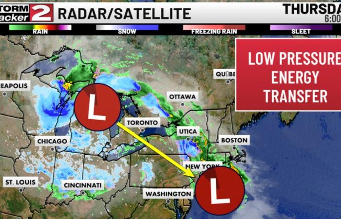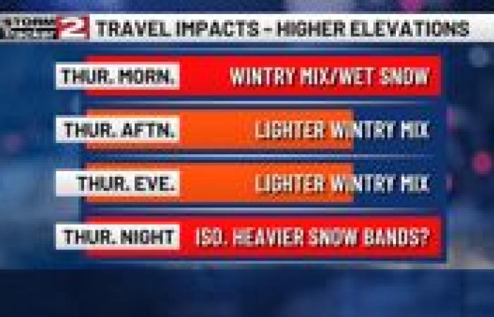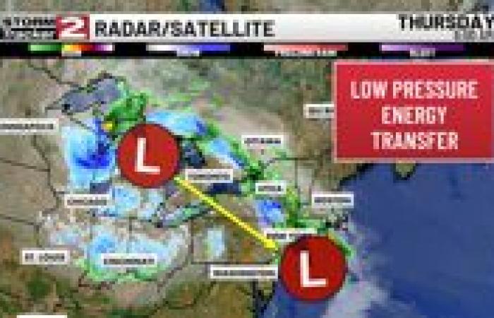
Good Thursday morning! A widespread cold rain has initially moved into CNY, but with cold air aloft, some rain is switching over to a wintry mix, and wet snow up in the higher elevations mostly south of Utica. This system as a whole is part of a complicated setup of two low pressure systems, in which a low out to the west is losing energy, and transferring it to a low along the Atlantic coast. The Atlantic low will tap into oceanic moisture, and continue to fuel this wintry system throughout the day and into the overnight before it departs out to sea.
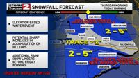
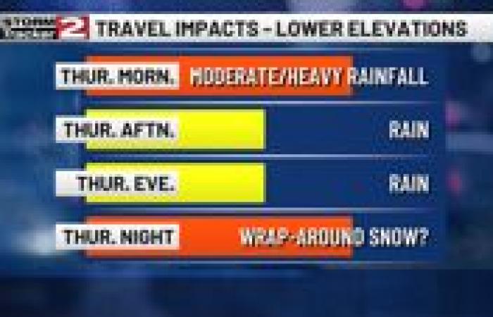
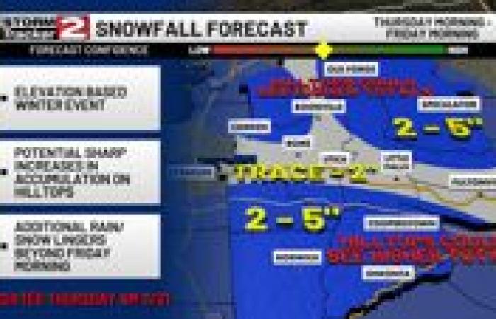
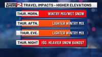
No changes to our snowfall forecast today. Even with the complicated nature of this system, we feel a little more confident today that our thoughts of accumulations and impacts remain the same. This will continue to be a mostly rain event for the lowest of elevations, while wet snow and other precip will likely mix in for higher spots throughout the day and tonight. Our biggest concern for snow will be tonight, as temperatures fall across the region due to the sun setting. Any snow bands that set up from the system could produce impactful wet snow with much higher snowfall rates to isolated spots. The highest chance of this occurring will be somewhere in Chenango, Otsego, Broome, or Delaware Counties.
