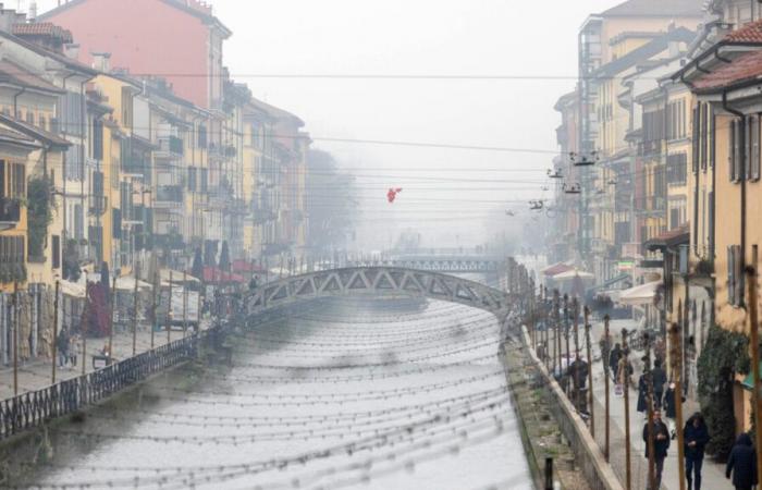
Real, intense cold. Just as if it were the middle of winter. This is what will happen in Milan in the next few days, when temperatures will rapidly approach zero. All thanks to the arctic air that is breaking into Milan, as reported by the meteorologists of 3Bmeteo.
The first weak disturbance will pass in the next few days. “The front is associated with a low rather far away, over Finland and had to pass through a high pressure field, weakening further – said Carlo Migliore, meteorologist at 3Bmeteo -. The result is widespread cloud cover but with modest phenomena. It won’t always go like this, new vortices are preparing to enter the scene from the nearby Atlantic and will descend towards Central Europe. The first expected tomorrow Tuesday in Germany will bring with it an intense disturbance destined to cross Italy on Wednesday. A second will arrive on Thursday and follow the same direction. Two episodes of bad weather will therefore characterize the first part of the week with at times intense rain and strong, even stormy winds. Temperatures in this first phase will tend to increase, both due to the southern ventilation and the foehn effect of the currents falling from the Alps and Apennines, then on Thursday they will begin to decrease”.
Precisely on Thursday in Milan temperatures will begin to drop drastically (on Wednesday they will fluctuate between 7°C and 15): on November 21st the minimum will be one degree and the maximum will reach 5°C. The cold could last until the beginning of the weekend.
Belgium


