This brief tornado likely picked up leaves and debris and lofted them into the atmosphere enough for the radar to confirm there was a tornado.
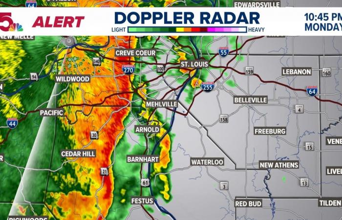
ST. LOUIS — 10:54 P.M. There are no active severe thunderstorm warnings right now, but there are some pretty strong storms. They still hold the possibility of creating some 40-60 mph winds and that brief tornado along the leading edge. We will continue to monitor that into this evening.
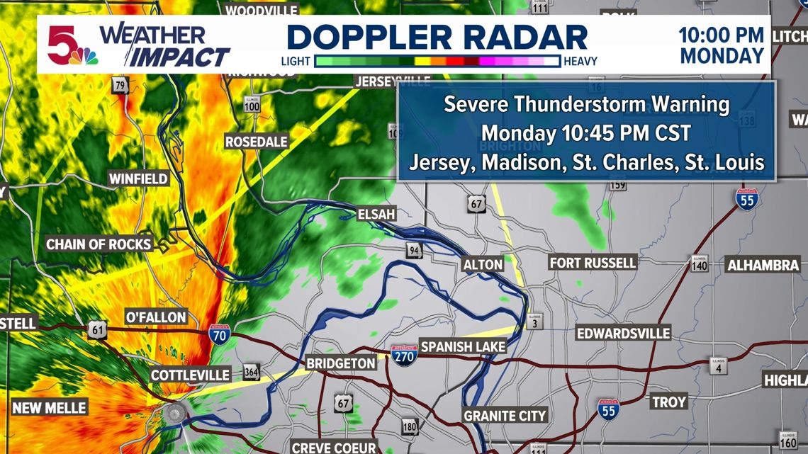
10:06 P.M A Severe Thunderstorm Warning is in place until 10:45 PM for Jersey, Madison, St. Charles, and St. Louis County. Wind gusts in excess of 60 mph are possible as this line moves through. Once again, we still see the possibility for brief, weak tornadoes on the leading edge of this storm.


10:05 P.M. A tornado warning has expired for Lincoln and St. Charles Counties after a brief radar-confirmed spin-up Monday evening.
The National Weather Service said at about 9:44 p.m. a tornado-producing storm was located 5 miles south of Moscow Mills, moving northeast at 30 mph, and a tornado was confirmed by radar.
This brief tornado likely picked up leaves and debris and lofted them into the atmosphere enough for the radar to confirm there was a tornado.
A tornado warning means a tornado has been spotted or indicated by the radar. Stay in your safe place until the threat of a tornado has passed. Have a pre-determined place to meet after a disaster. Using text messaging instead of calling on cell phones is often more successful during times of destructive weather.
Download the free 5 On Your Side app to get the latest watches and warnings and track conditions live with our interactive radar. Use the links below to download now.
5 On Your Side news app
iPhone | Google Play
Belgium


