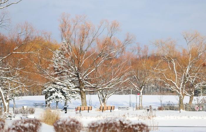
(Montreal) A good amount of snow ranging from 10 to 15 centimeters is expected in southern Quebec by Tuesday morning, with precipitation falling mainly overnight. The weather conditions forecast for the following days will be favorable for maintaining this white carpet, before the possible arrival of another system that could bring rain at the end of next week, according to Environment Canada.
Posted at 11:16 a.m.
Updated at 1:27 p.m.
Frédéric Lacroix-Couture
The Canadian Press
Light snow began to fall Monday morning in Abitibi-Témiscamingue and Outaouais. The band of snow should move during the day towards the east and then affect Montreal, Montérégie, Lanaudière, the Laurentians, Mauricie, Centre-du-Québec and Estrie.
“It’s a system coming from the west which is not very strong. It intensified a little as it passed over the Great Lakes, where the disturbance gets a little moisture. And it develops in a slightly more defined way. This is what we are going to have on the Quebec side,” explains the meteorologist at Environment and Climate Change Canada, Michèle Fleury, in an interview.
Snow is expected to intensify in the evening for most affected areas.
“It’s going to be nice, light, powdery snow, with not too much wind. Snow therefore with relatively limited consequences, given that the majority of accumulations in urban areas will occur during the night. The next morning, it will all be over,” says M.me Fleury.
On the Outaouais side, the situation looks somewhat different. The snow will fall a little more heavily in the afternoon and evening, according to Environment Canada, urging motorists to exercise caution.
“Roads may become slippery and visibility will be reduced. But we are still relatively lucky because there is no ice or there is not much wind either,” mentions M.me Fleury, who recommends moving forward or delaying travel if possible.
The meteorologist indicates that, for the following days, Quebec will find itself “under a ridge of high pressure which will keep the sky clear and the weather a little colder than normal until the arrival of the next system, where there things could change.”
“In the meantime, the snow will remain beautiful for Christmas week,” specifies Mme Fleury.
The system that Environment Canada is monitoring could bring a milder air mass to Quebec with temperatures rising above freezing and a mix of precipitation including rain.
“So, we’re taking advantage of it this week for those who like snow,” before it finds itself wasted at the end of next year, says Mme Fleury.
Through Friday, the federal agency forecasts maximum temperatures around -8 to -10 degrees Celsius and minimums around -15 to -17 degrees Celsius.


