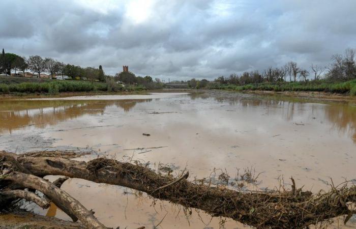
Storms, rain, the return.
The Valencia region (Spain) and Catalonia have not yet recovered from recent floodsthat another complicated week is ahead on the weather front.
100 mm
Indeed, Meteocat announced the probable arrival of a new DANA next Wednesday on the Catalan coast. What is a Dana? Well, this is what we commonly call a cold drop In France. It is “from a pocket of very cold air located at an altitude of more than 5,000 m”according to Météo France. It isolates itself in the middle of a warmer air mass. Result: storms, precipitation and in our case very often, Mediterranean episodes.
This week, DANA could be unleashed on our side of the border.
According to The Weather Channel, “Roussillon will be under surveillance between Tuesday evening and Wednesday and from Thursday”.
Like last week, the Mediterranean regions will once again be affected by #rainsu26c8ufe0f over the next few days. THE #Roussillon is under surveillance between Tuesday evening and Wednesday and from Thursday. There #colddrop Spain could bring heavy rains there. pic.twitter.com/q77D6l3usI
— La Chaîne Météo (@lachainemeteo) https://twitter.com/lachainemeteo/status/1855627260893557106?ref_src=twsrc%5Etfw
For its part, Extrême Météo estimates that the accumulations could reach 100 millimeters whether in Catalonia, Valencia and even in the Pyrénées-Orientales on Friday.
Under surveillance the coming week, the DANA (cold drop) circulating towards the Iberian Peninsula. Not necessarily as I said yesterday the same effects and consequences as the previous one but the panel of the European model puts non-negligible probabilities that… pic.twitter.com/DcyxhMHCBG
— Extreme Weather (@ExtremeMeteo) https://twitter.com/ExtremeMeteo/status/1855562015885975839?ref_src=twsrc%5Etfw
Forecasts which remain to be confirmed but which could have notable consequences, the soils still being waterlogged due to the latest bad weather.
France


